
Nautical Lake Art

How to Care for Your Wood Map
Five minutes of care, a few things to avoid, and your map looks the way it did on day one.

Lake Tahoe by the Numbers: 9 Facts Worth Knowing
1,645 feet deep, 63 streams in and one river out. Nine facts about Lake Tahoe.

Laser-Engraved or UV-Printed? How the Two Wood Maps Differ
Both are 3D, both are layered Baltic birch. Here is how they differ, and how to choose.

What Size Lake Map Should You Get? A Simple Wall Guide
12 × 16, 16 × 20 or 24.5 × 31? Three measurements that make the choice easy, room by room.

Michigan Lake Maps: A Tour of the State's Favorite Waters
Houghton Lake averages 9 feet. Torch Lake drops to about 300. A tour of Michigan's best-loved lakes, bays and islands, and the wood map of each.
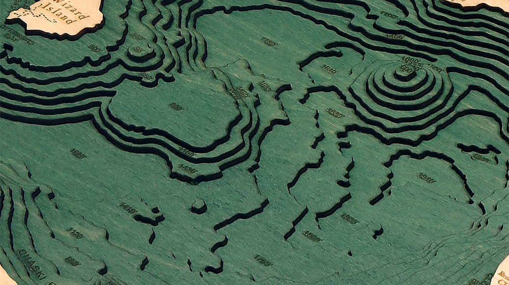
The 4 Deepest Lakes in the United States
Crater Lake, Lake Tahoe, Lake Chelan and Lake Superior: how deep they go, and how they got that way.

The Great Lakes by the Numbers
Superior drops to 1,332 feet, Erie to 210. The five lakes by depth, plus a few facts worth knowing.
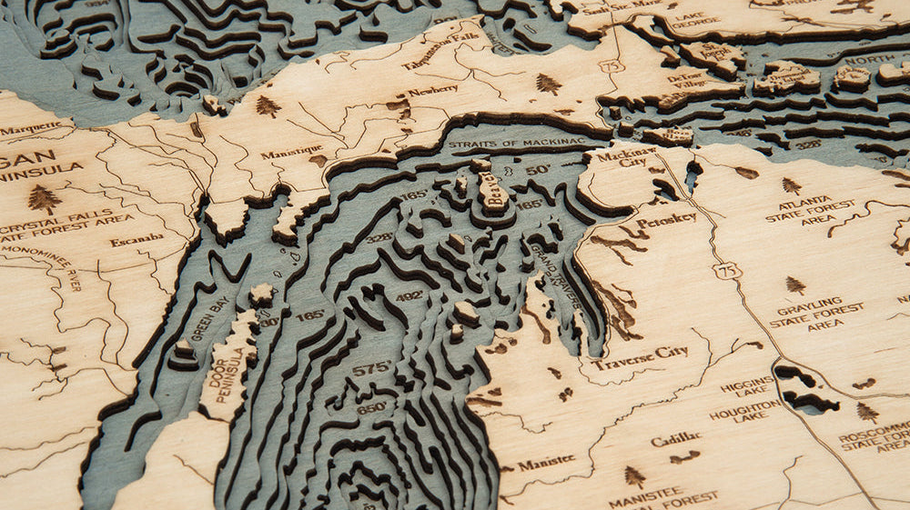
Where to Hang a Lake Map: 6 Spots That Work
Over the mantel, down the hall, up the stairs, and the lighting trick that makes the layers pop.

Why Is It Called the Treasure Coast? The Story of the 1715 Fleet
A hurricane, a Spanish treasure fleet and a beachcomber with a metal detector. The story behind the name.

Crater Lake: How America's Deepest Lake Was Made
A volcano collapsed, the sky filled the hole, and the result is 1,943 feet deep.

The Lake Lover's Gift Guide: 2026 Edition
Tide clocks, cribbage boards, puzzles and 3D wood maps of the water they love, sorted by budget.
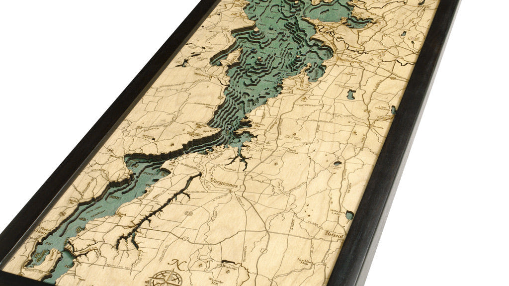
Lake Champlain by the Numbers
120 miles long, 400 feet at its deepest, more than 70 islands. Lake Champlain up close.